AMSN 2026

Fieldtrips and workshops

Join us for exciting field trips on Thursday 26 November (Day 3), followed by interactive workshops on Friday 27 November (Day 4), offering opportunities to explore coastal wetlands, exchange knowledge and connect with fellow researchers and practitioners.

Field Trip 1: Southern Sydney

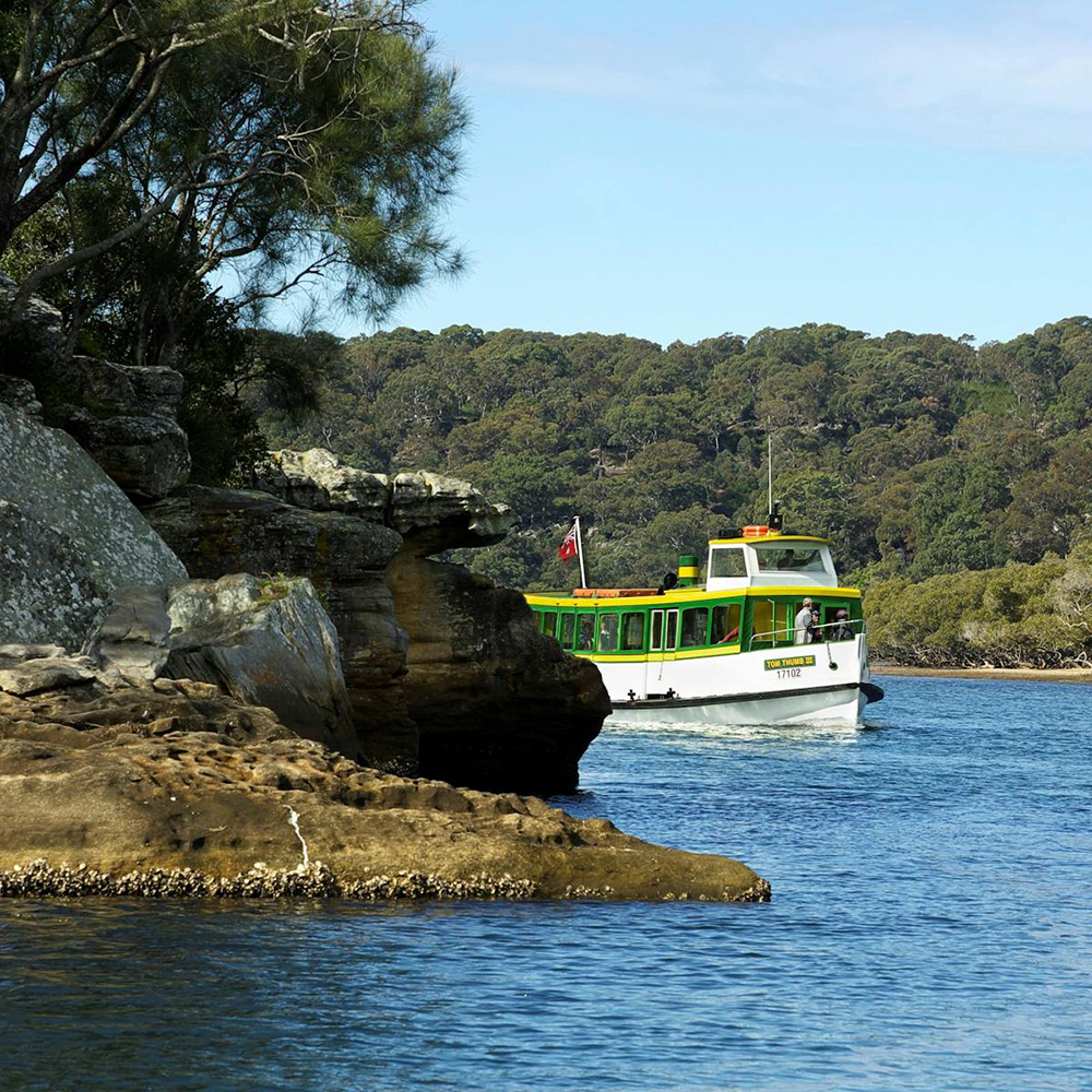
This field trip will take participants on a scenic cruise up the Port Hacking River to explore mangroves and saltmarshes subsisting in these culturally significant estuaries despite pressures from urban development, storms and local sea level rise. Participants will visit Cabbage Tree Basin, where storm inundation disrupted regular accretion and hydrological cycles, leading to widespread mangrove dieback. They will also explore Ramsar-listed coastal wetlands around Towra Point Nature Reserve on a guided walk with researchers from UOW.

Green-and-white passenger ferry travelling along a calm river beside a rocky sandstone shoreline. Trees line the riverbank in the background, and clear blue water surrounds the vessel under a bright sky.

Field Trip 2: Lake Illawarra and Minnamurra River

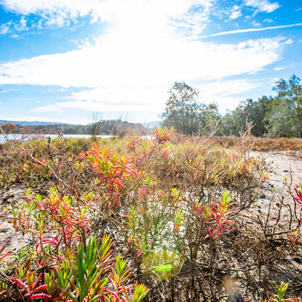
This field trip will take participants on a journey through unique estuarine communities of the Illawarra coast, contextualising saltmarsh and mangrove interventions within this dynamic and changing coastal region. After a barbecue with the Illawarra Local Aboriginal Land Council, participants will visit three sites around Lake Illawarra and the Minnamurra River to learn about saltmarsh restoration initiatives from Wollongong City Council (Hooka Point) and OzFish (Haywards Bay) as well as mangrove monitoring programs facilitated by the NSW Government (Minnamurra River). They will also be given opportunities to provide expert feedback on local, regional and state management strategies for the conservation and restoration of coastal wetlands. 

Low-growing coastal wetland vegetation with red and green foliage growing in sandy, muddy ground beside a body of water. Trees and shrubs appear in the background beneath a bright blue sky with scattered clouds, while sunlight creates lens flare across the scene.

Making room for coastal wetlands: policy, projection and carbon under sea-level riseĀ 

Workshop 1 

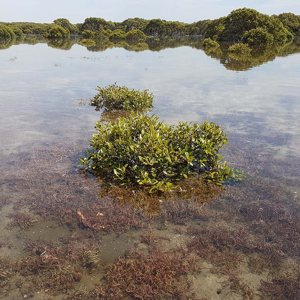
As sea levels rise, coastal wetlands require space to move inland. Yet planning rules, models and carbon accounting rarely work together to keep that space open. This workshop brings together researchers, policymakers and practitioners to map where we are, what is holding us back, and what’s needed. New South Wales is the focus, as proposed planning reforms represent an important opportunity to consider wetland migration pathways. Outcomes will help shape emerging opportunities for carbon abatement and nature repair as coastlines change. The lessons apply to low-lying coasts worldwide.  

This workshop is supported by the NSW Environmental Trust. 

Small mangrove shrubs growing in shallow, calm water, with submerged seagrass visible beneath the clear surface. Larger mangrove trees line the background, reflected across the still water under a bright sky.

Beyond RSETs: Harmonising coastal wetland monitoring for CoastRI

Workshop 2

Australia's coastal wetlands face increasing pressures from sea-level rise, climate change and coastal development, highlighting the need for coordinated, long-term monitoring. The Coastal Research Infrastructure (CoastRI) initiative aims to strengthen Australia's coastal observing, modelling and data integration capabilities to better understand coastal change.

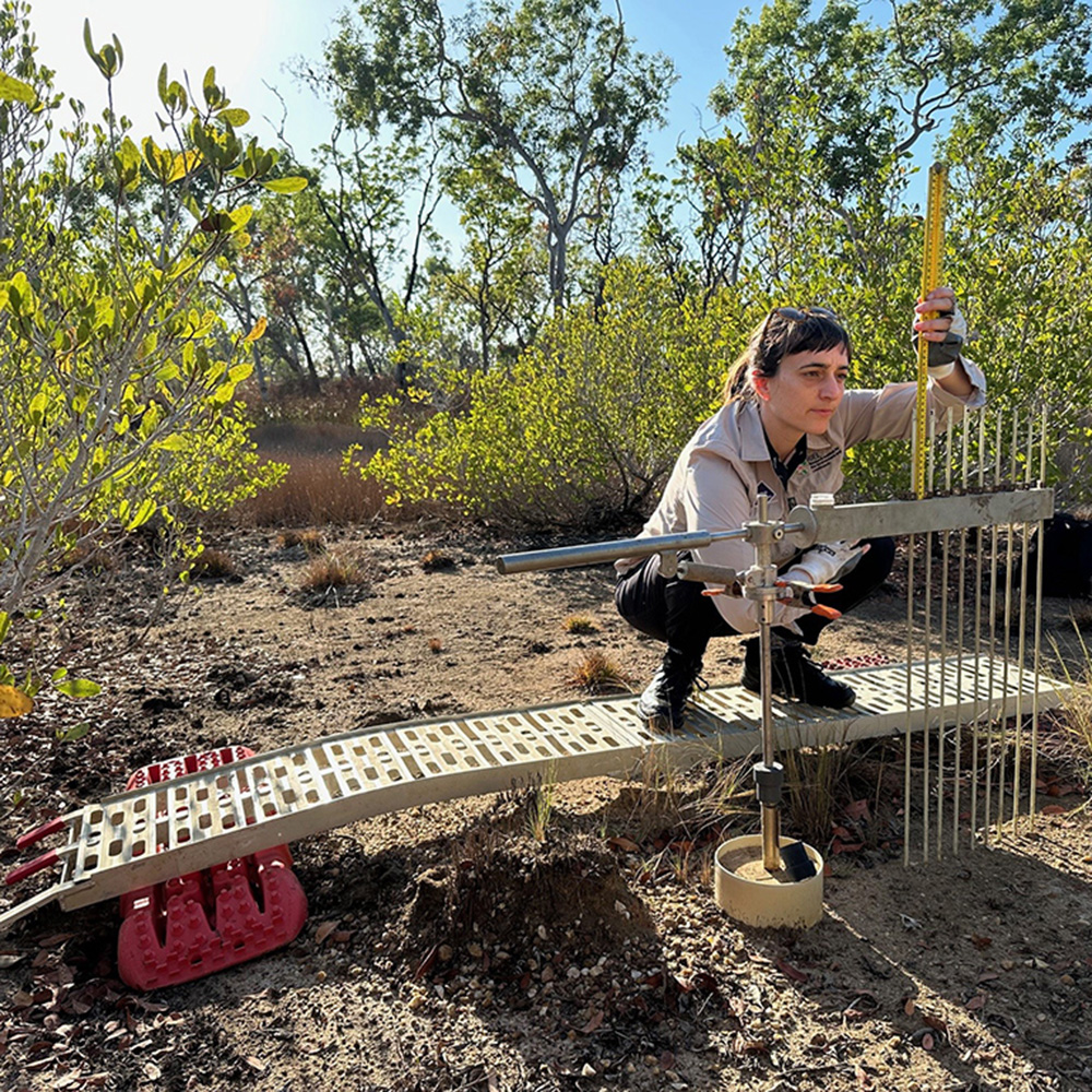
Building on TERN's OzSET network, this interactive workshop will explore opportunities to broaden coastal wetland monitoring through complementary measurements alongside existing Surface Elevation Table–Marker Horizon (RSET-MH) observations. Participants will be invited to identify and discuss priority plot-based variables that could support the calibration, validation and interpretation of drone and satellite remote sensing products, while strengthening assessments of coastal wetland condition and change across mangrove, saltmarsh and other tidally influenced ecosystems.

The workshop will introduce existing OzSET resources, including the national Standard Operating Procedure and data portal, and provide an opportunity for expert discussion on potential monitoring priorities, methodological consistency and integration with broader CoastRI activities. Insights from the workshop may help inform future approaches to nationally coordinated coastal wetland monitoring.

Format: 90-minute interactive workshop combining short presentations, facilitated discussion and identification of potential monitoring priorities.
Person kneeling in a coastal wetland while using a field monitoring device to measure environmental conditions. The equipment is positioned across a shallow soil trench, with mangroves and native vegetation surrounding the study area under bright daylight.